- A Floater’s Guide to the Rivers of the Yaqui Watershed
- Detailed Map Book to Accompany the Floaters Guide
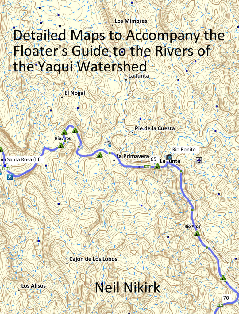
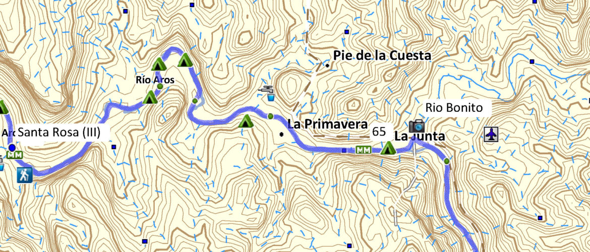
This Detailed Map Book is meant to accompany the written portion of the Floater's Guide and provide greater detail than the maps provided in the original Floater's Guidebook.
As an aid to prospective paddlers, the author is making available these much more detailed maps based on the Garmin TOPO Mexico 1:50,000
scale topographic maps customized to each river using Garmin BaseCamp.
These maps include the access points, camps, river mileage, water sources, hikes, and points of interest included in the mile by mile description in the original Floater's Guide. Together, these two volumes provide the information and mapping resources needed to navigate the rivers of the Yaqui Watershed covered in the Floater's Guide.
Upon request and with proof of purchase of this Detailed Map Book, the author will make available these maps in PDF format so that they can be printed out on waterproof paper at the size of your choosing.
Contact the author at guidebook@golightoutdoors.com for more information.

