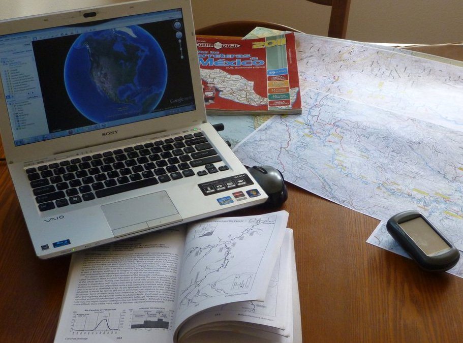
Maps, Maps, and more Maps! Don’t forget to study those graphs too!
What kind of maps and graphs? topographical maps, road maps, GPS maps, Google Earth, hydrology graphs, climate and precipitation graphs.
Why all this map madness?
We are about to embark on another major river adventure in Mexico. I have narrowed it down to 42 rivers I would like to run, most of which will be first descents with inflatable boats. Small lightweight catarafts are our boat of choice because there will inadvertently be portages, most certainly linings, and maybe even “ghost boating” along the way.
Some of the rivers have been done once or twice by the modern day kayak explorer Rocky Contos. We will be following in his foot steps to a degree. His river running guidebook to the Copper Canyon region of Mexico forms a general base of information for us. But even with the guidebook there are a lot of unknowns: access points change (open up or become inaccessible), river levels can rise and drop very quickly in Mexico (monsoons), rapids change (landslides, blockages, strainers). Also, the river perspective and ratings can be different when run with inflatable boats and catarafts. First descents are generally done in kayaks because they can usually be easily portaged around a rapid, whereas for us catarafters, portaging is usually doable but much more problematic. Here is a partial list of rivers we intend to do: Papaghoci / Sirupa (95 miles), Tutuaca / Aros / Yaqui (175 miles), Mayo (160 miles), Chinipas (40 miles), Tomochic (47 miles), Pungungeo (62 miles)………
These travels into Mexico are the first leg of the trip, the second leg will be rafting the Rio Maranon in Peru (411 miles in 29 days) on the Upper reaches of the Amazon, often referred to as “The Grand Canyon of the Amazon”, and then the final leg of our expedition will be in Guatemala working with RIOS Guatemala a non-profit river conservation organization.
I will be posting to this blog and Facebook as internet connectivity and spare time is available.

